Reservoir bathymetry
Reservoir depth map
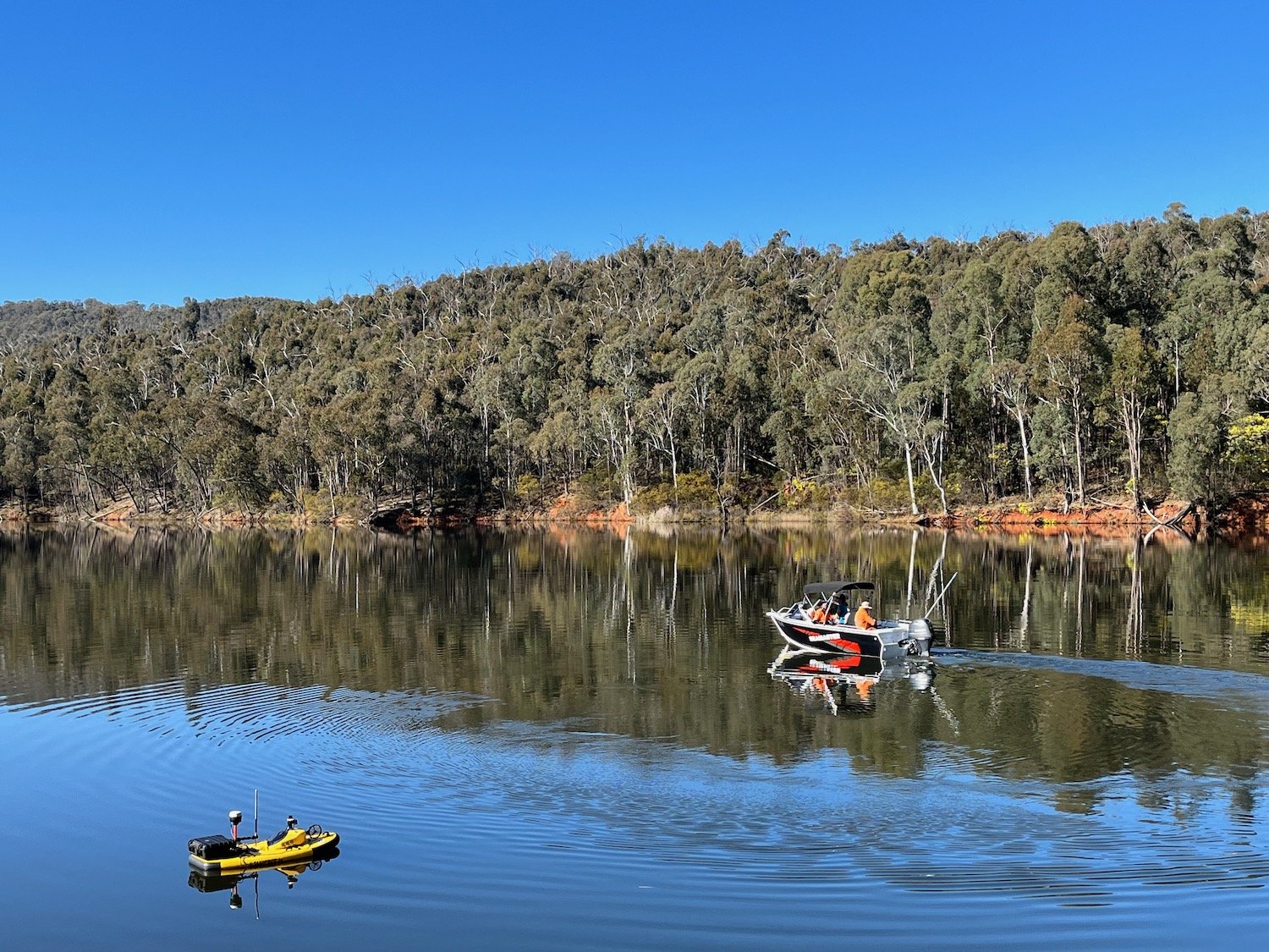
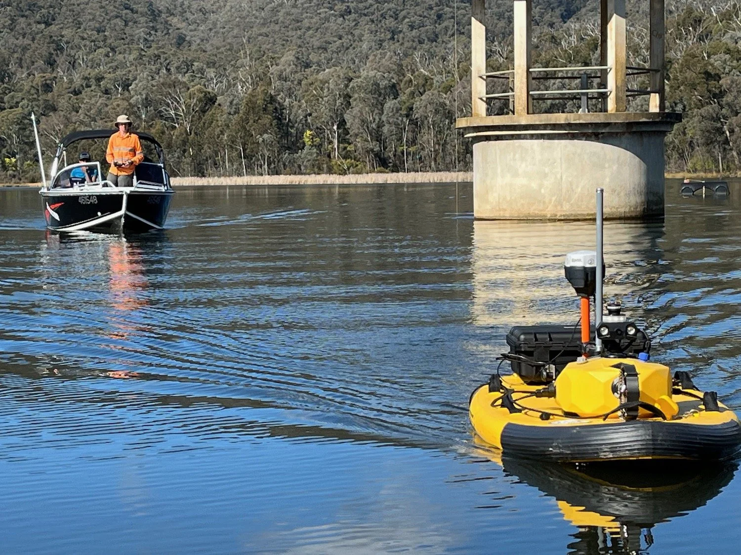
During July and August 2023, we were engaged by a Victorian water authority to carry out volumetric surveys of four raw water storages. The water bodies varied from over 1100ML remote reservoir to a 90 ML rock-lined basin.
Using a combination of aerial LiDAR, photogrammetry, unmanned and manned water craft, we were able to provide up to date information on the raw water capacity servicing some major regional centres in the North East of Victoria coming into summer.
We have developed an innovative workflow that combines a reconnaissance aerial mission to accurately map the reservoir extents, current water level and in-water obstacles before planning the waypoint mission for the sonar boat. This allows the sonar mission to be efficiently planned to maximise data collection and battery life. In over 40km of autonomous boat travel, not a single log or sand bar was hit!
The aerial mission reconnaissance also allows for the waterline extent to be accurately determined which also provides data on the zero water depth extent. This envelope or boundary condition can then be incorporated into the model to help with estimating volumes in the upper reaches of the reservoirs where depths of less than 0.3m exist where the boats cannot negotiate. We use a Surfbee remote controlled survey boat equipped with a single beam 200kHz sonar to gather depths. The sonar is coupled to RTK positioning equipment to ensure that position and elevation data are accurately combined with depth information. LiDAR and photogrammetric data is captured with a DJI Matrice 300RTK aircraft.
The captured data enabled 12P Consulting to produce accurate storage function graphs for each reservoir.