
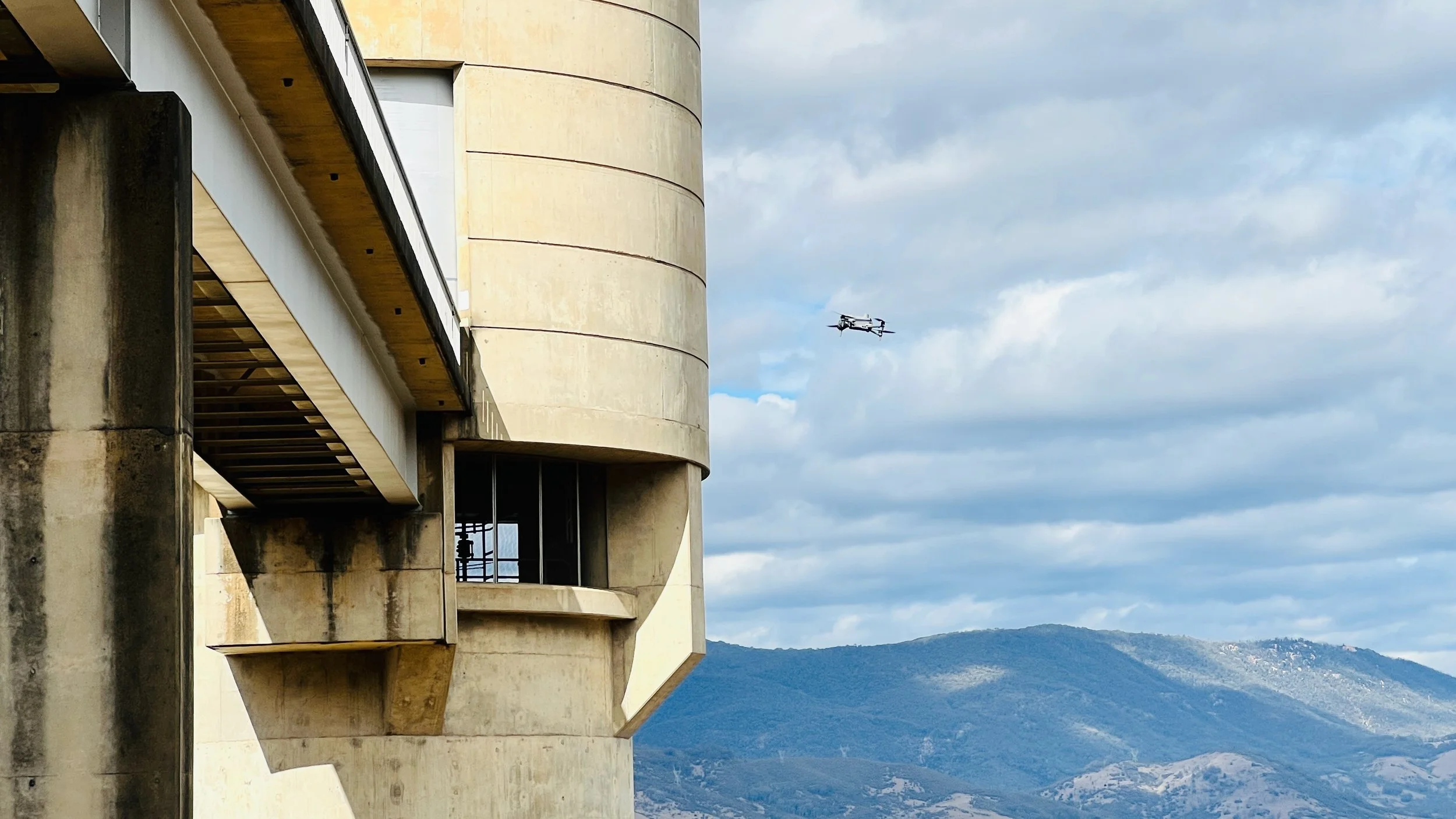
Bridge inspection at Blowering Dam

Berembed Weir longsections from LiDAR survey
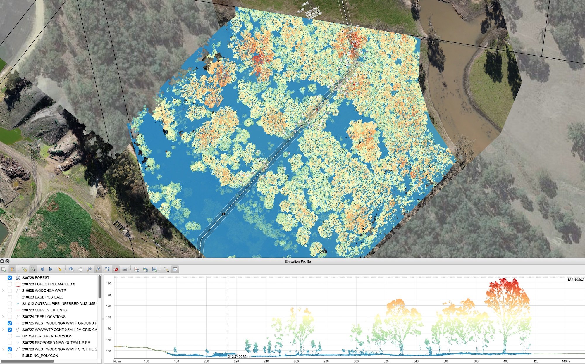
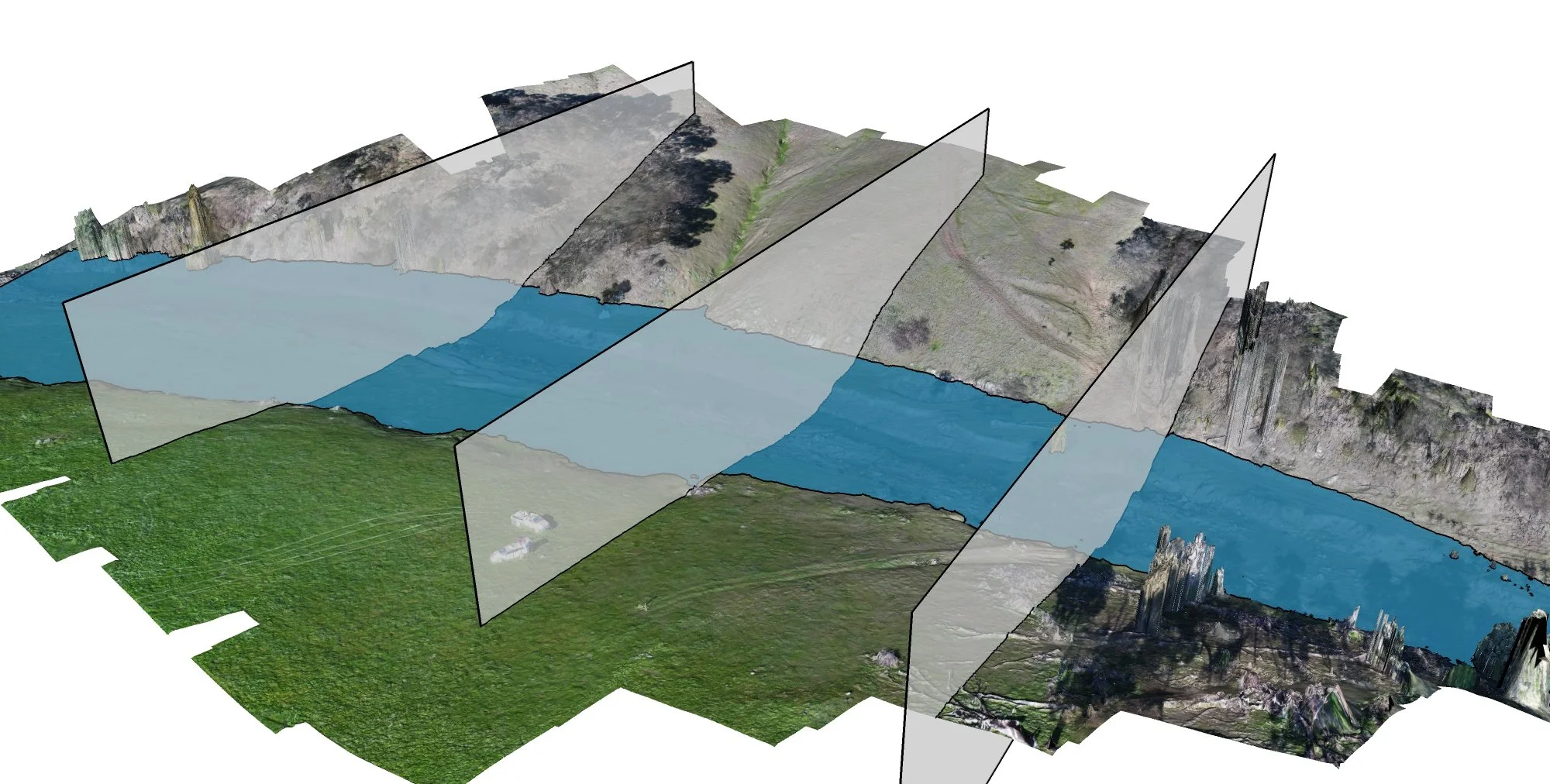
Forest cross section generated from a LiDAR point cloud

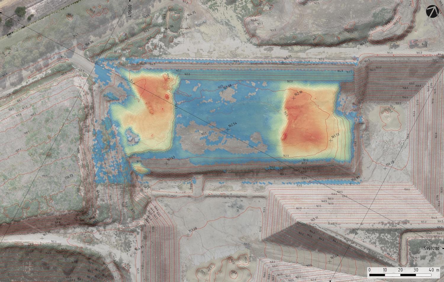
Reservoir bathymetric survey with remote-controlled boat
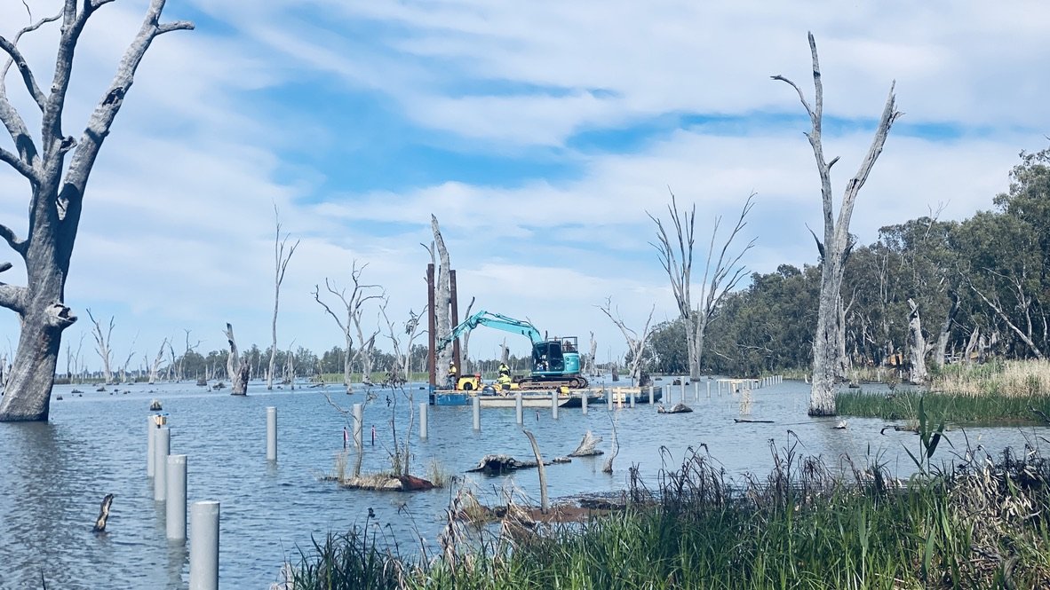
Lake Mulwala Boardwalk construction managed by 12P Consulting
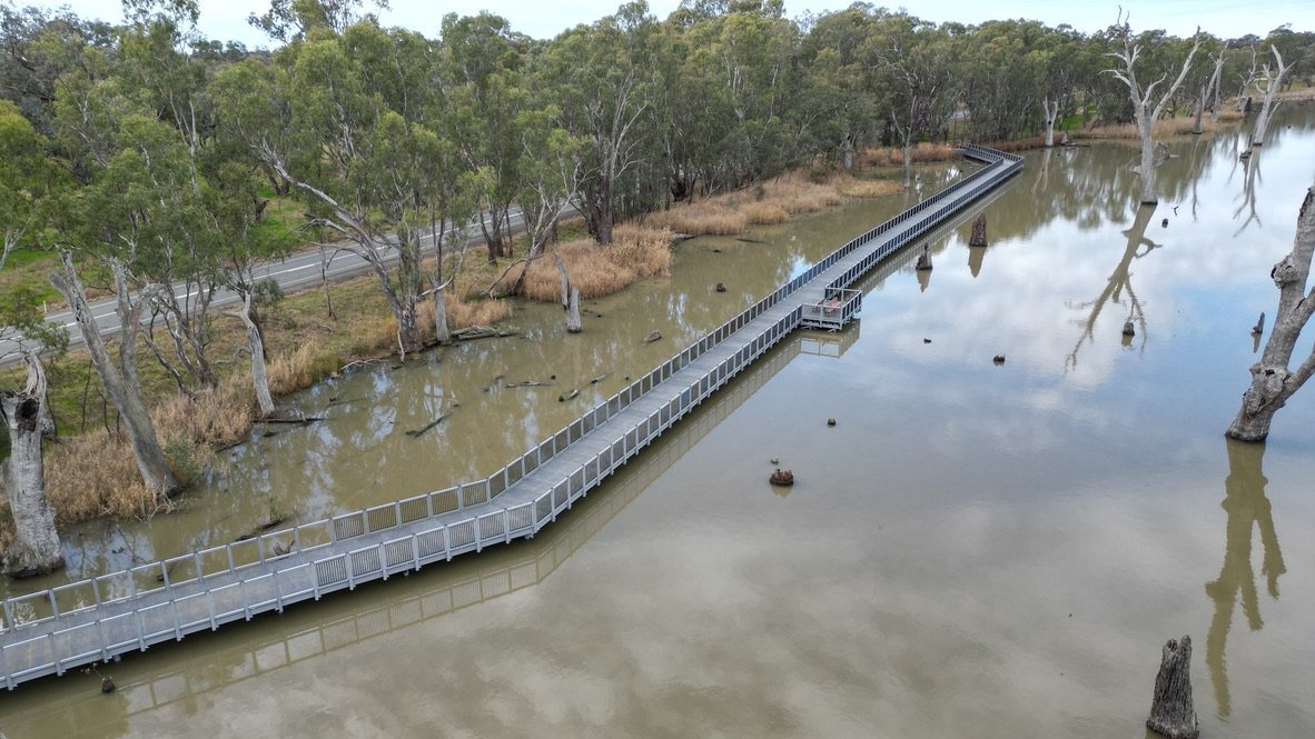
The boardwalk is a 220m long fibre-composite structure with driven circular piles, substructure and deck

Hume and Hovell Track pedestrian bridge

Bathymetric survey of a water storage reservoir
Modelling bridge waterway areas

UAV survey using the Phantom 4 RTK
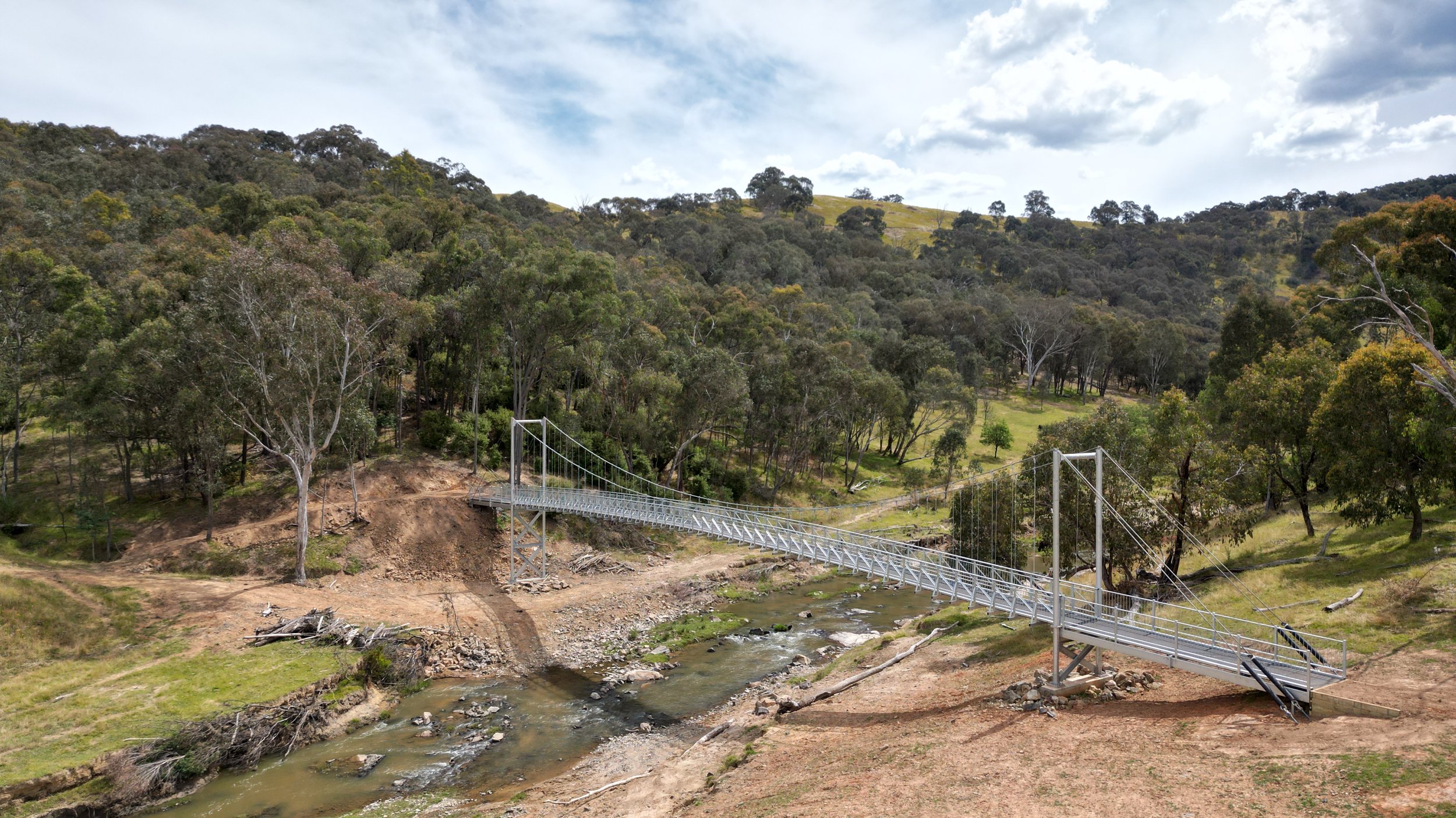
Coppabella Ck suspension bridge on the Hume and Hovell Track

3D site scan of a winery operation

Modular bridge construction - Rocla MLock
SURFACE DIFFERENCE MODELLING Using drone-based aerial surveying techniques, airspace volumetric analyses can be undertaken to facilitate reporting to state government agencies and for strategic planning
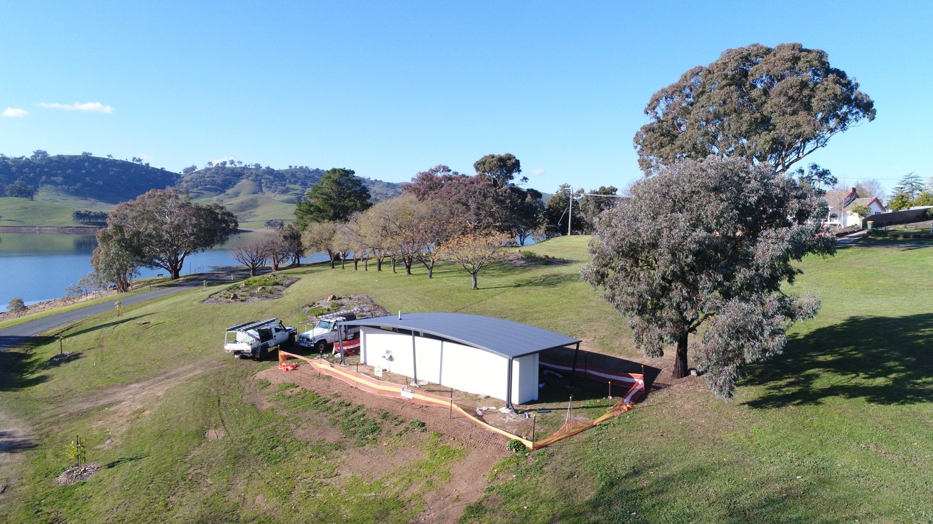
Tallangatta foreshore amenties upgrade

3D terrain model and structure concept
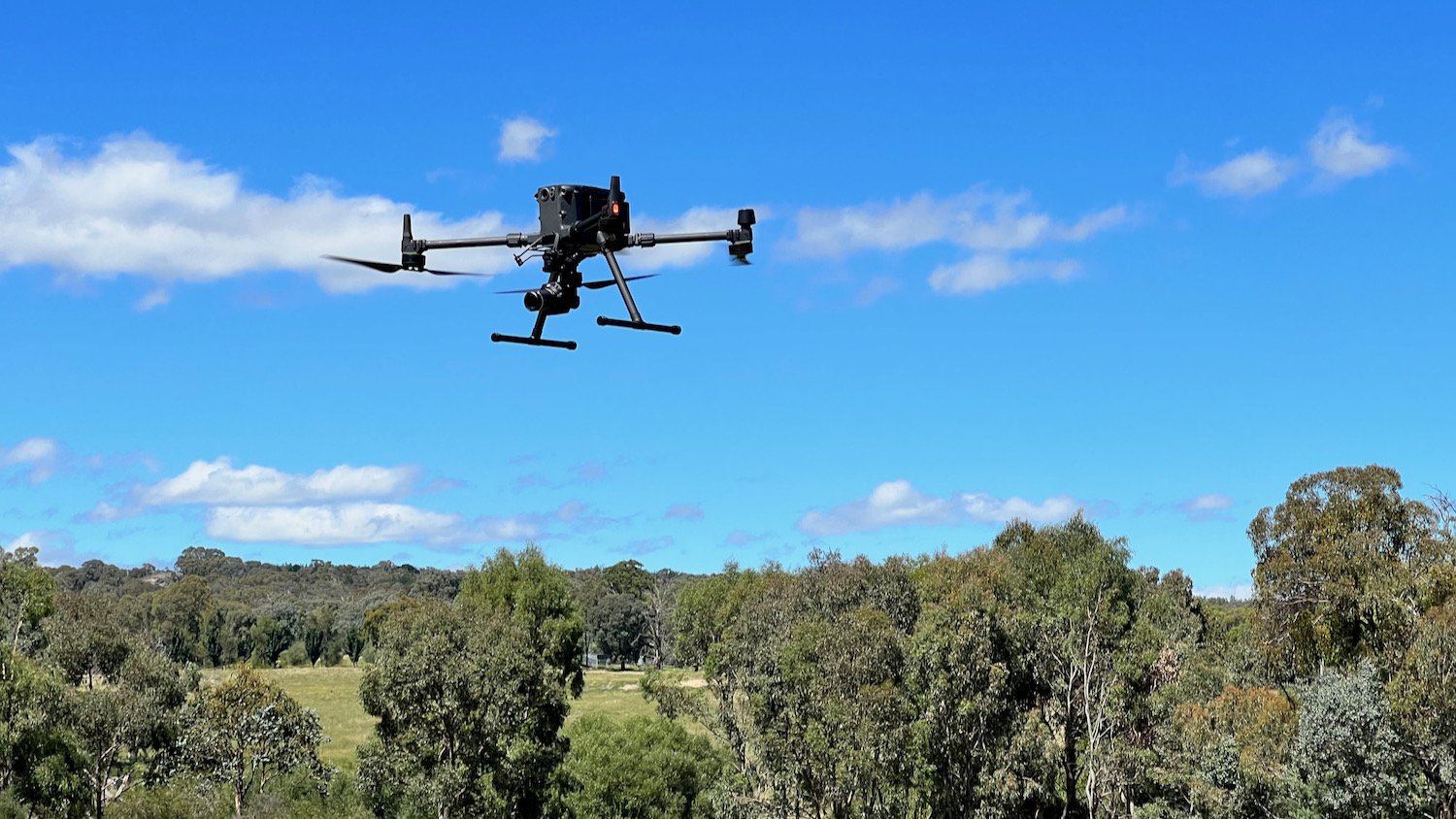
DJI Matrice 300 with 45 megapixel camera

Tallangatta foreshore upgrade
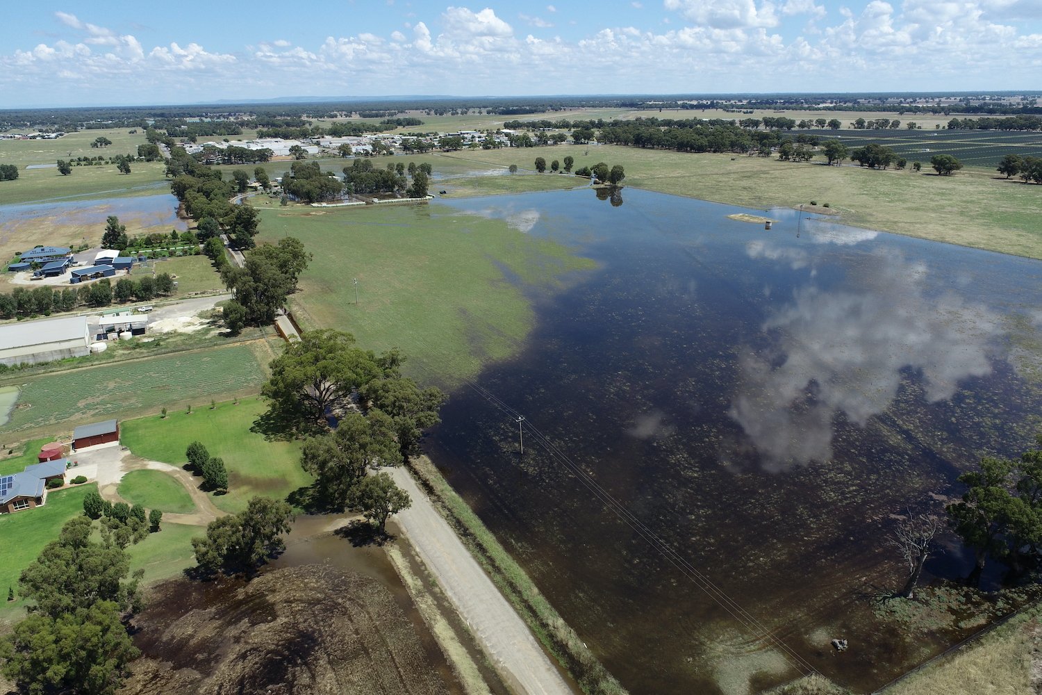
Aerial imagery captured the extent of the Jan 2022 floods at Corowa

Foreshore walking paths

Tallangatta walking track
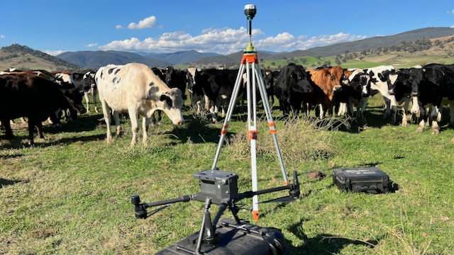
Aerial survey in the Upper Murray

Quarry volumetric survey NSW
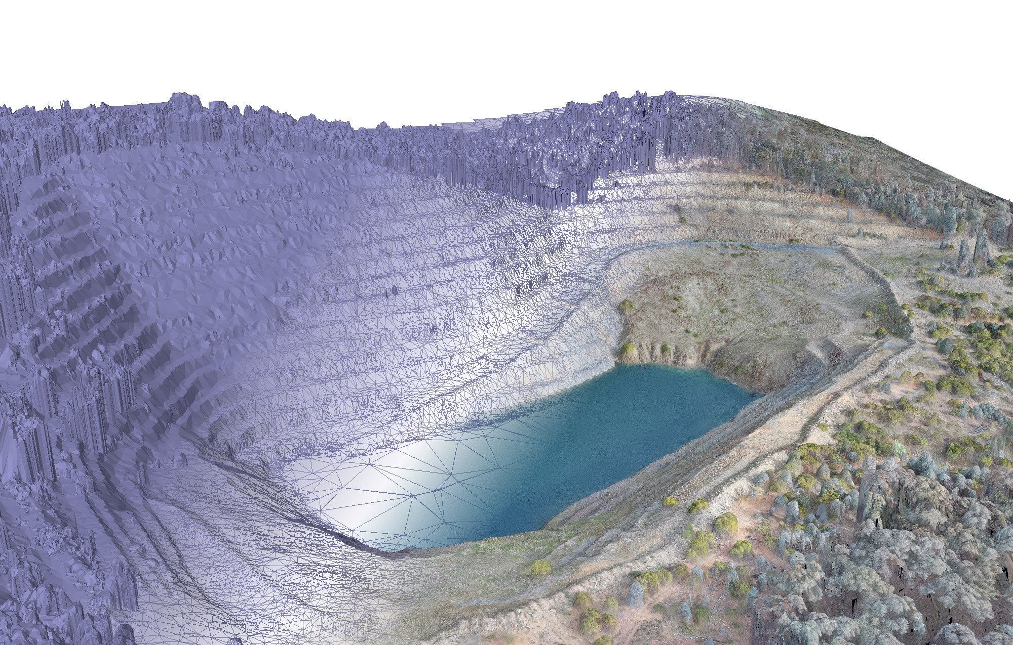
Skeleton Hill quarry survey

GIS analytics and planning

Clear water storage tank construction

MODULAR BRIDGE CONSTRUCTION Assisting in the construction of a prototype pedestrian bridge

Pomegranate Estate

Aerial photogrammetry

Pavement repair and stabilisation
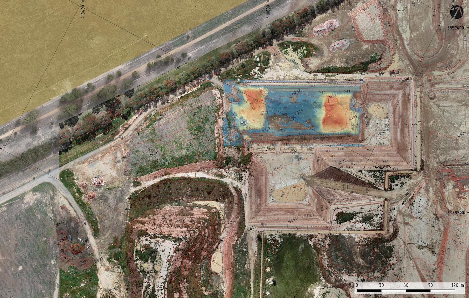
Landfill air space analysis and management

LANDFILL SURVEYING Setting out ground control points before sending up the drone

Tallangatta foreshore shelters and landscaping

Mission control for a bathymetric survey
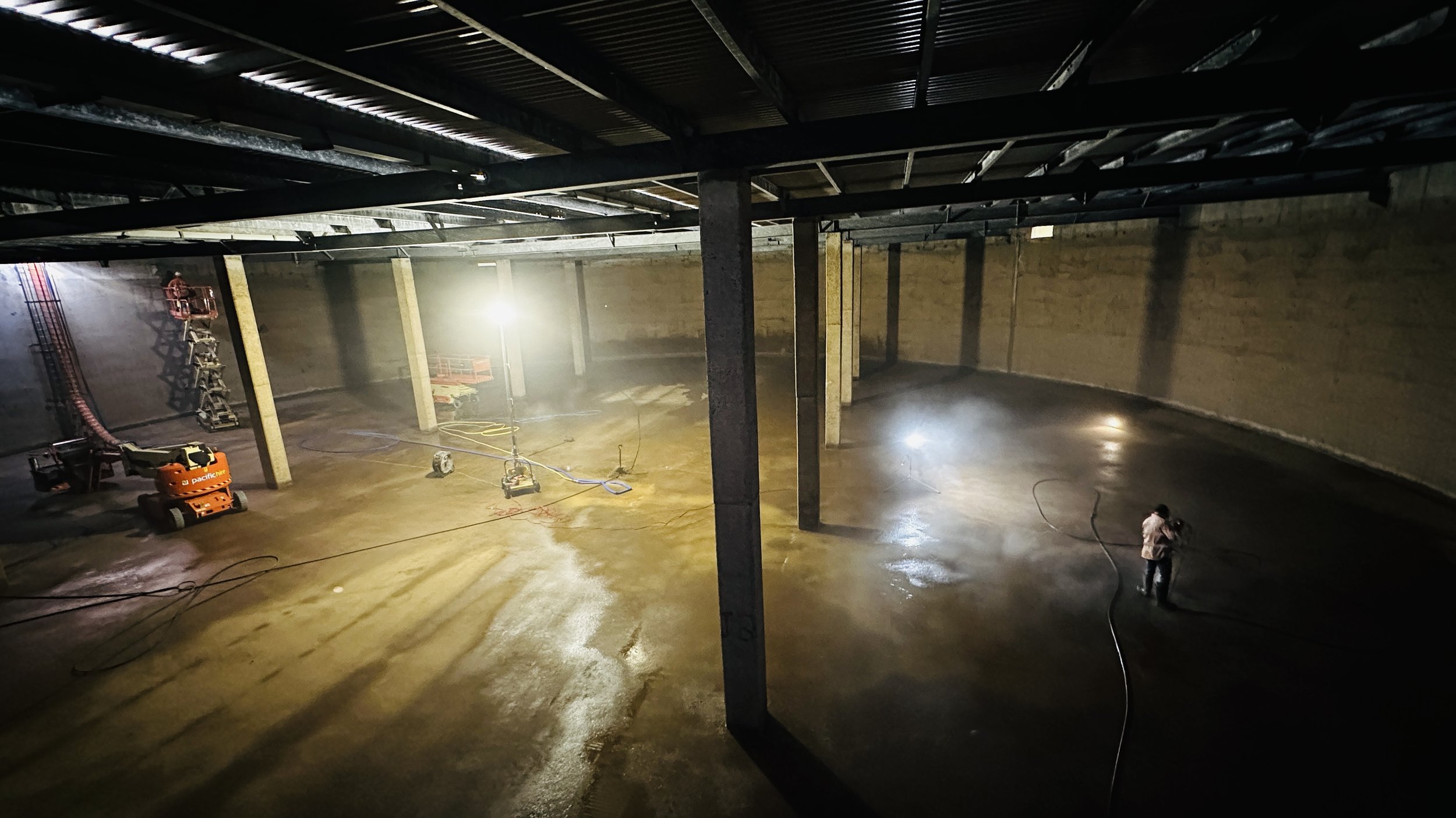
Clear water storage tank rehabilitation works