Murray River Pedestrian Bridge Feasibility Study

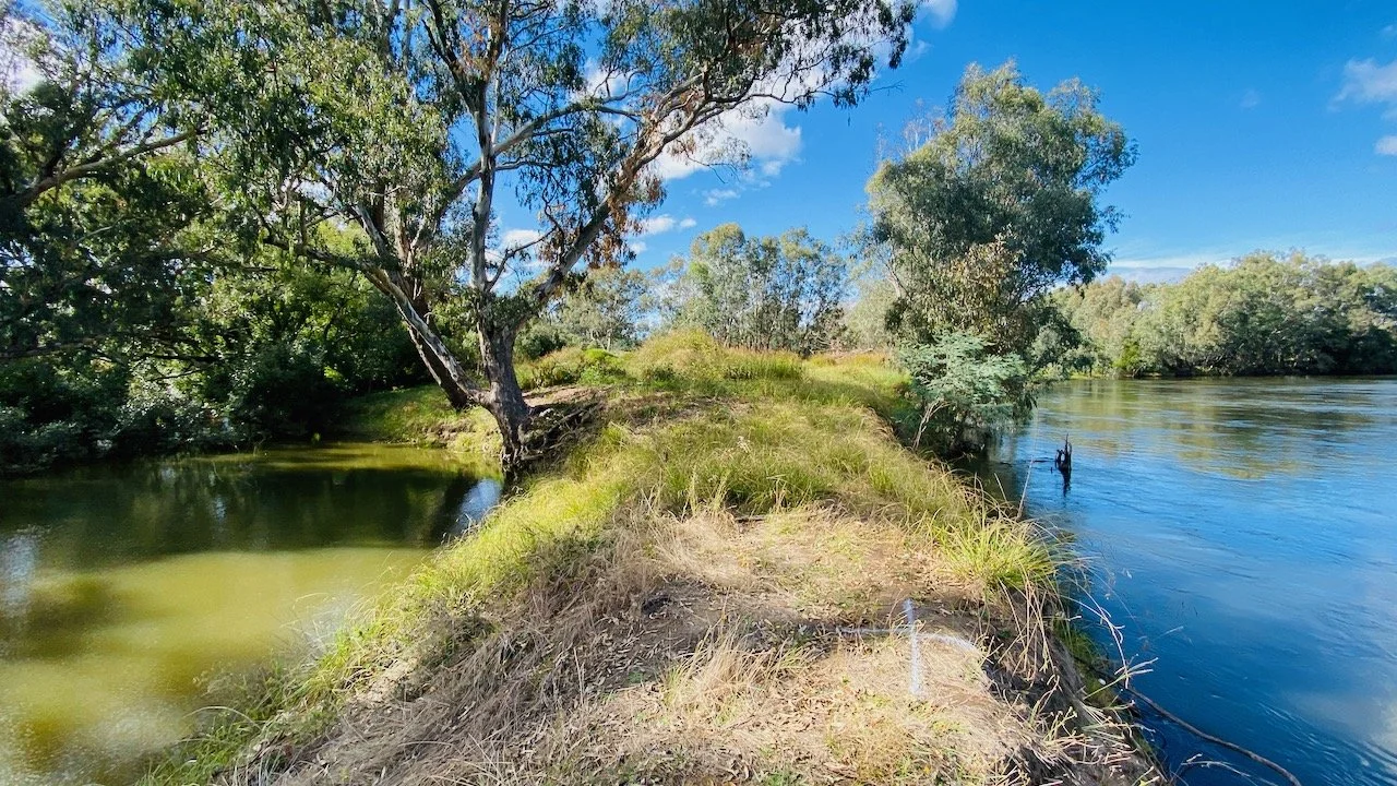
Ortho image and digital elevation model from UAV survey
In early 2022, Parklands Albury Wodonga partnered with Parklands Albury Wodonga to undertake a pedestrian bridge feasibility study in the Albury/Wodonga area in north east Victoria. The purpose of the study was to investigate six individual sites to determine the type, size, and other characteristics of constructing pedestrian bridges over existing waterways in the area. The goal was to link up the local trail network and provide a safe and accessible way for the community to enjoy the natural beauty of the region.
12P Consulting utilized their expertise in engineering and drone technology to map each site, providing accurate and comprehensive data that would otherwise have been difficult and time-consuming to gather using traditional surveying methods. The high-resolution imagery and 3D models generated by the drones allowed the engineering team at 12P Consulting to closely examine each site and gather crucial information about the terrain, water flow, and other important features.
The use of drones provided several benefits over traditional surveying methods, including speed, accuracy, and cost-effectiveness. The drones were able to cover large areas quickly and efficiently, capturing high-quality data in real-time. This information was then used to create detailed topographical maps, which were crucial in determining the best design and construction options for each pedestrian bridge.
The study was a resounding success, and the findings were presented to Parklands Albury Wodonga. The engineering team at 12P Consulting was able to provide detailed recommendations for each site, including the type of bridge, the optimal length and construction materials, and an estimated cost for each project.
The 3D terrain model was used as the basis for designing a bridge to suit the topography at each site.
The use of drones in this feasibility study highlights the important role that technology plays in modern engineering and construction. The speed and accuracy of the data gathered by the drones allowed for a more efficient and cost-effective solution, providing Parklands Albury Wodonga with the information they needed to make informed decisions about the future of their pedestrian bridge network.