Lake Hume Bathymetric & LiDAR Survey
12P Consulting teamed up with Vantage Environmental Management in July 2024 to capture and process bathymetric data across a 250ha area in front of the Hume Dam on Lake Hume for GSP Energy (part of the Foresight Group). The objective of the survey was to provide depth information over the survey area (above and below the waterline) and to calculate the relationship between elevation and area - the “area-height function”. This information was then used by specialist consultants to model stratification of the water body for the purposes of determining the biological oxygen demand of the water column. This is important because the production of electricity at the Hume Dam hydroelectric plant depends on the ability to release water through the hydro electric turbines that meets the requirements of the MDBA’s dissolved oxygen limits for river health.
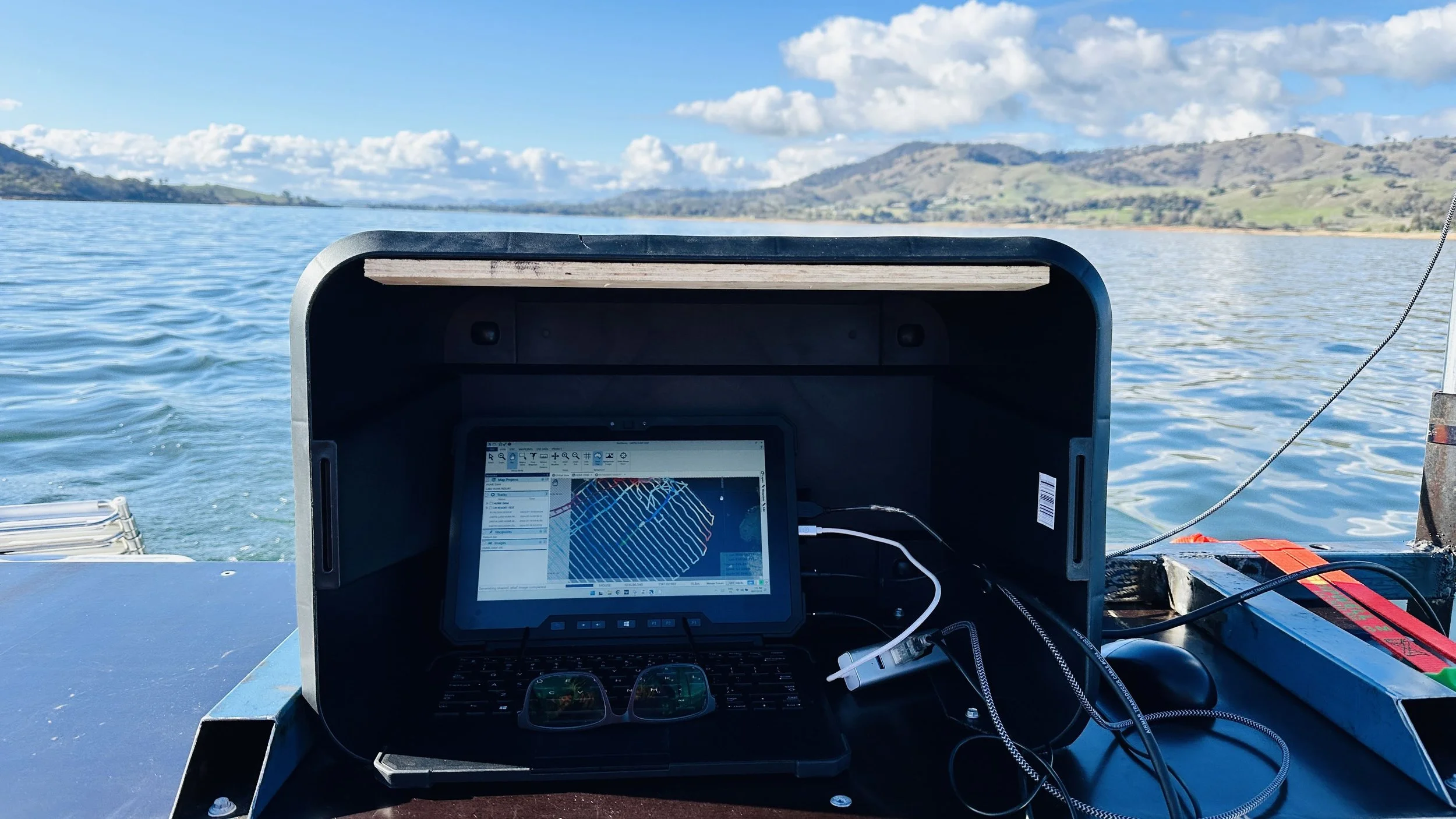
The large survey extent presented a logistical challenge for data capture. We opted to use both our remote controlled boat and a manned boat to complete the bathymetric survey. The remote controlled boat was first employed to survey the shallow areas of the foreshore where unfavourable jagged rock beaching existed. Then we mounted the sonar to our manned boat to complete the bulk of the survey mission across the lake’s extent.
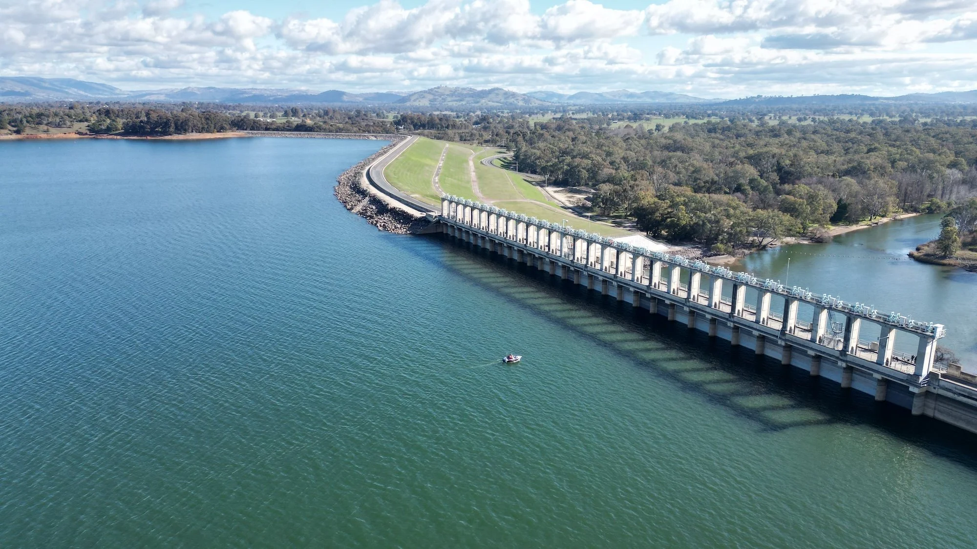
We worked closely with Water NSW who manage the dam and spillway gates during the two day survey. Safety was paramount during the works and WaterNSW staff ensured that the gates were shut off so we could survey within the exclusion zone within metres of the spillway gates.
Aerial LiDAR of the above water level portion of the storage, ie. the foreshore strip, was used to complement the bathymetric survey to produce a merged bathymetric and LiDAR surface model and contour plan. Terrain below and above the water level up to the maximum storage level of 192.0m AHD was captured. Detailed maps showing bed and bank elevations and contours were produced, along with the calculated area-height functions.
Both our remote controlled boat and a manned boat were used to capture bathymetric data across Lake Hume.
LiDAR point cloud of the above water level portion of the storage
Lake Hume bathymetric and LiDAR survey. Raster values converted to vector points to show above and below water level hypsometric points.
Lake Hume bed contour plan with the original Murray River channel clearly visible