Flying-Fox Thermal Drone Survey
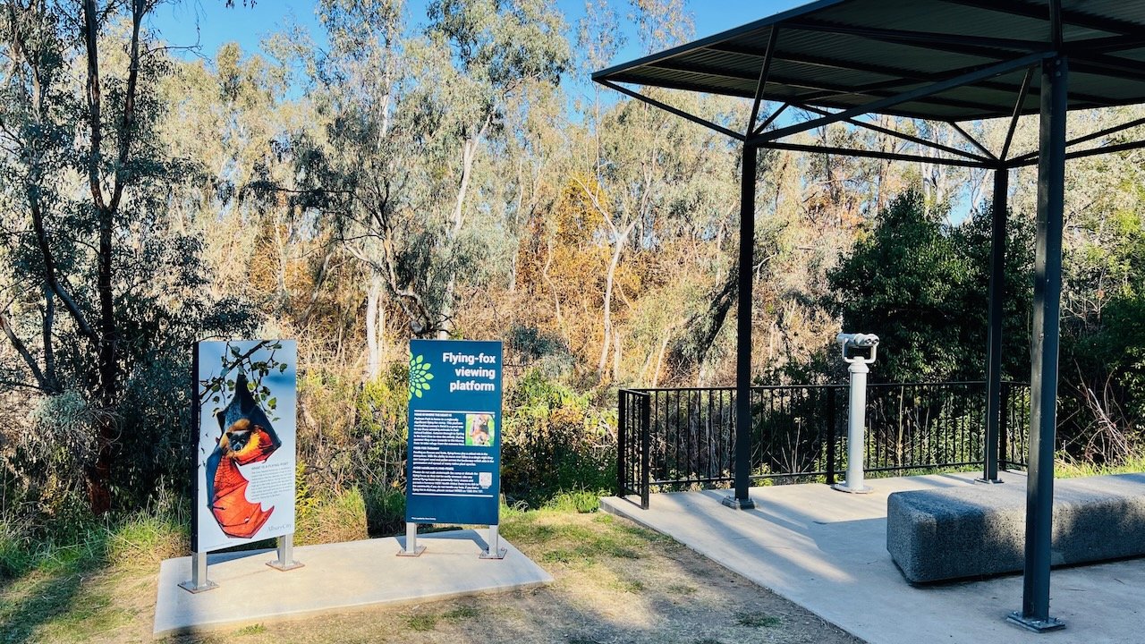
We recently completed a thermal drone survey of the flying-fox camp at Leaneys Bend on the Murray River for Albury City Council. The survey provided a count of flying-foxes in the camp, which could be compared with ground-based flying-out counts currently used to estimate numbers on a quarterly basis. The aerial survey was also used to provide a more accurate measure of the camp extent at Leaneys Bend.
Flying foxes are clearly visible in the aerial thermal imagery, appearing as white-hot circular objects.
The flying-fox camp is located within the arrival and departure path of Albury airport and therefore required CASA approval under our ReOC for the operation. A night visual line of site (NVLOS) operation was also required to optimise the thermal contrast of flying foxes against the roost site vegetation, with the survey occurring just before sunrise.
Thermal aerial surveys of flying foxes have been shown to provide more accurate, precise and objective methods for monitoring the abundance of flying foxes in a camp. We used the Zenmuse H20T thermal payload mounted to our M300 RTK drone to capture the thermal imagery. A LiDAR scan was also used to capture details of the vegetation across the camp location.
12P Consulting analysed the thermal imagery to count the number of flying foxes using two methods: 1. a manual point count, and 2. a semi-automated computer vision (CV) method. Whilst further research is needed to refine these methods for counting flying foxes, the aerial surveys showed that there are significantly more individuals in the camp than fly-out counts have estimated. This aerial survey method shows great promise for monitoring flying fox camps in the future.
Map showing the changes in the flying-fox camp extent at Leaneys Bend, Albury.