Blowering Foreshore Mapping
12P Consulting has been involved in the ongoing maintenance and capital works management of the Hume and Hovell Track since 2015. During the fires of late 2019 and early 2020, as much as 120km of the Hume and Hovell Track (roughly 25%) was affected by fire. The fire destroyed around 50 bridges and infrastructure at three campsites.
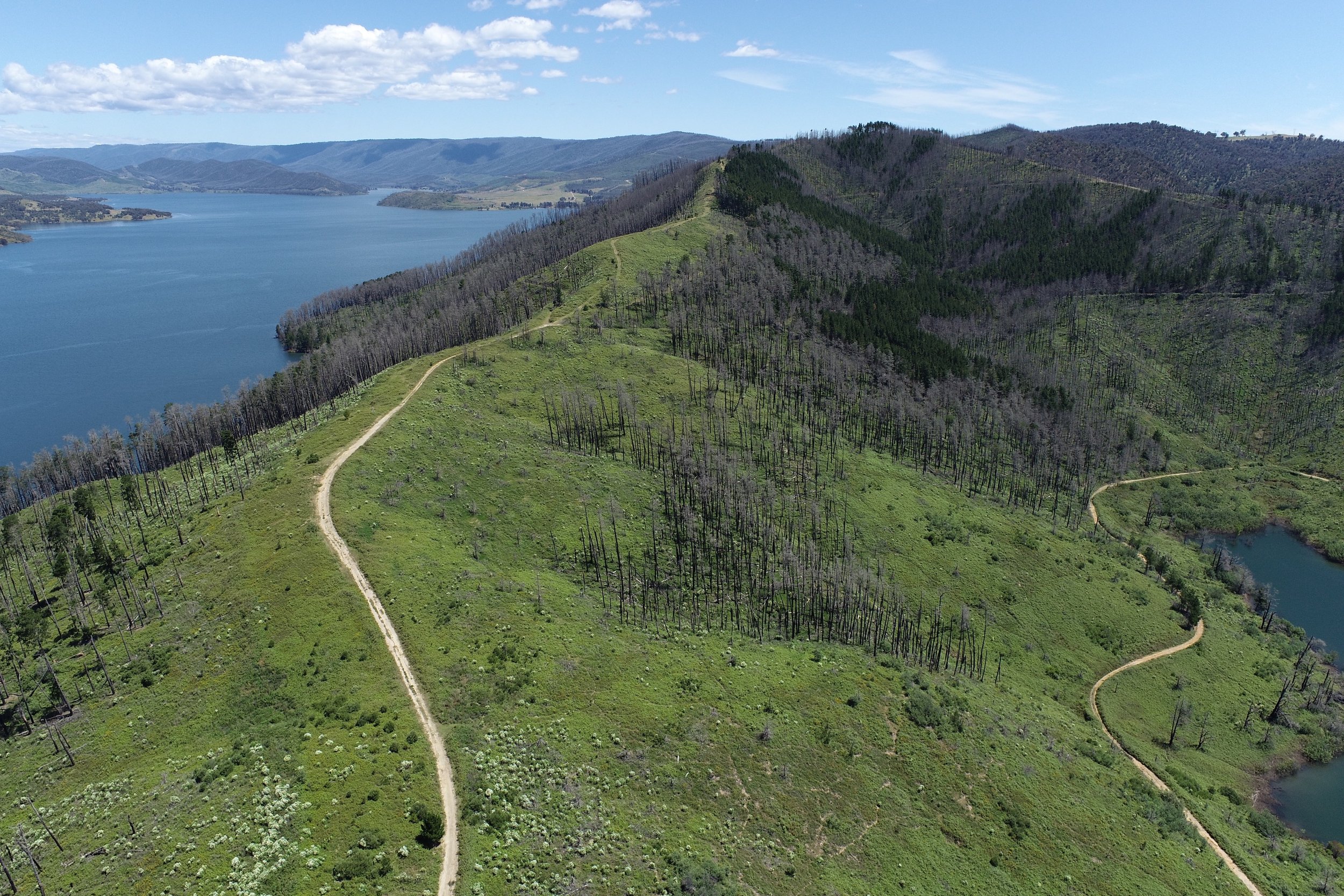
The section along the western shore of Blowering Reservoir was particularly hard hit by the fires with two campsites all but destroyed and several key bridges. The track is aligned along a single track from the dam wall at the northern end until it meets Browns Creek Campsite which coincided with the northern extent of the fire damage. From Browns Ck campsite, the fire destroyed hundreds of hectares of softwood plantation forest where the Hume and Hovell Track is aligned to Foreshore Rd for around 15km.
Forestry NSW have been actively harvesting what they can salvage and clearing areas that are unviable to make way for new plantations. However there is some 8km of Foreshore Rd that has remained difficult (and dangerous) to access due to the high number of unstable trees and has remained closed since the fires.
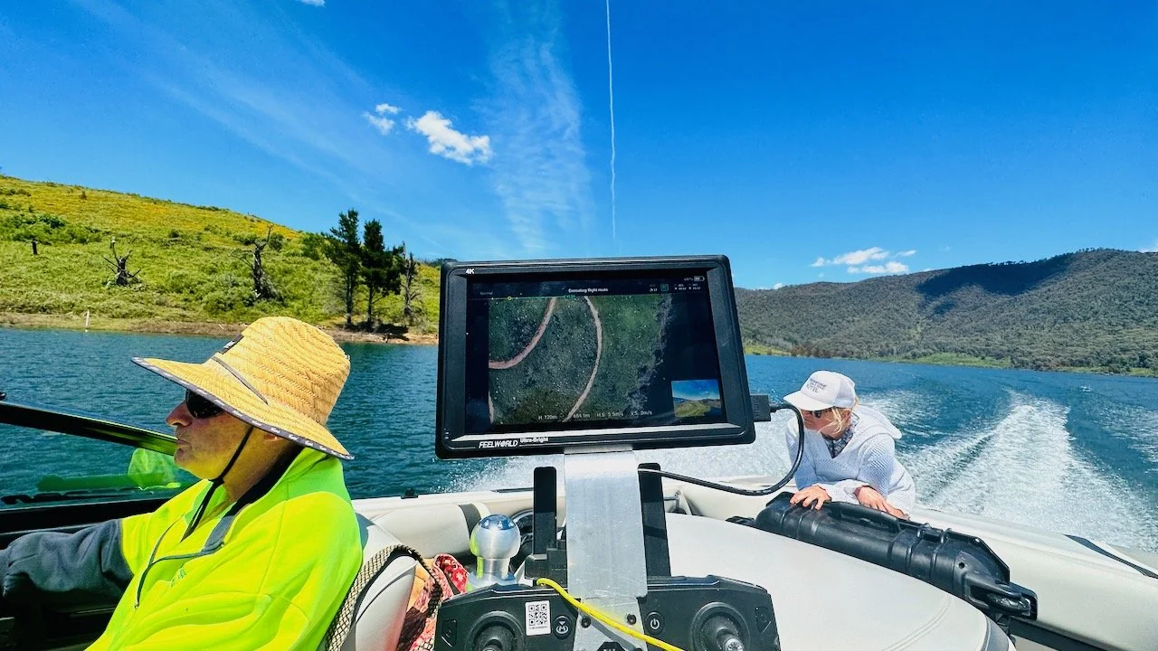
In order to assess the extent of the remaining trees in the vicinity of the track, 12P Consulting was engaged to undertake a survey along the foreshore road with Wagga Wagga based tree consultant Wade Ryan. With access by boat, the foreshore road and a 100m surrounding corridor was mapped by UAV in a corridor-flight path over a length of 8km. The survey, along with observations from the boat enabled Wade Ryan to make an assessment about the number of trees encroaching on the track and the risk profile of opening up the track. Subsequently, recommendations were made to clear the track using a forestry harvester and dozers.

Blowering foreshore aerial survey