Corowa Flood Mapping
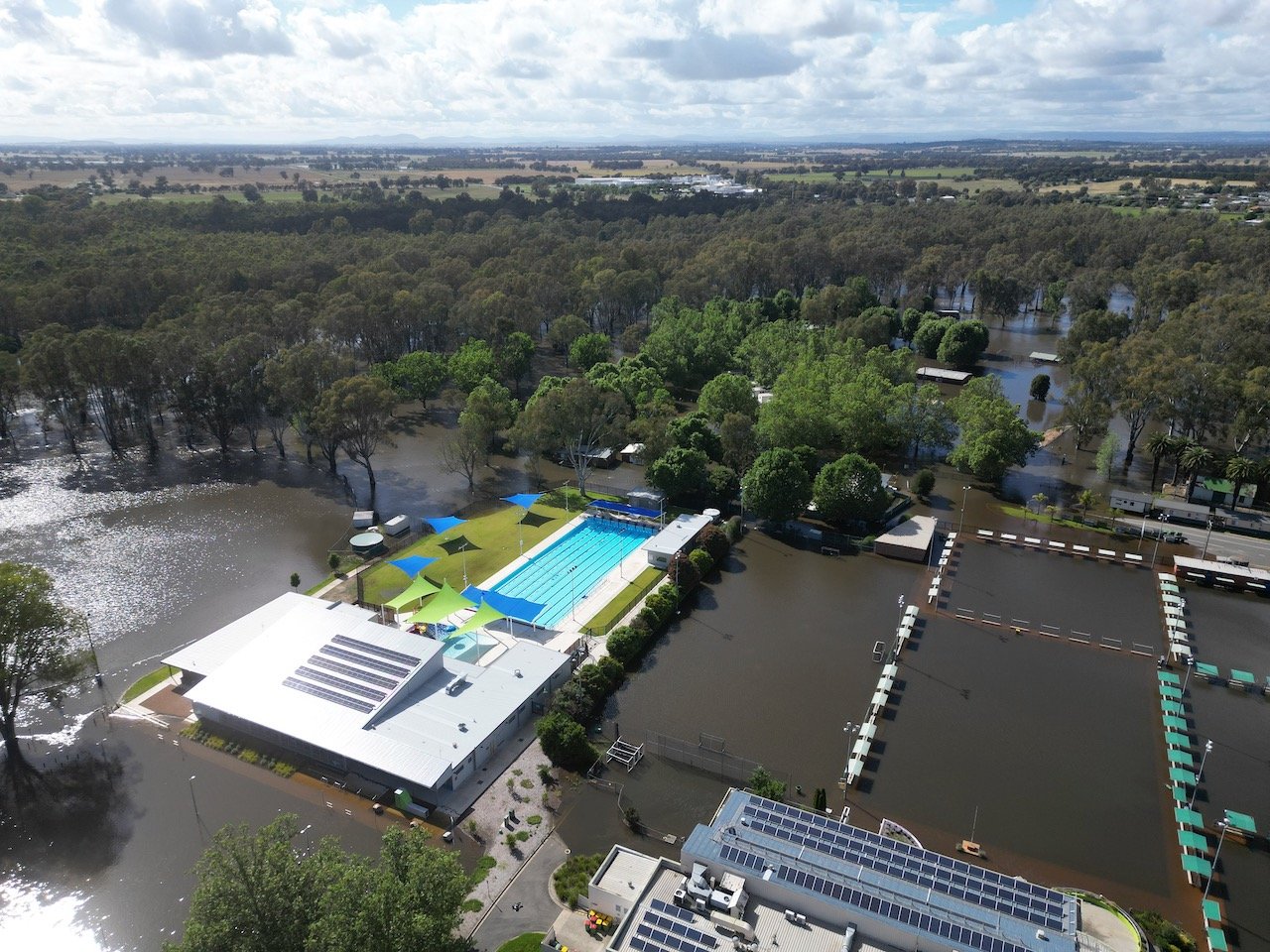
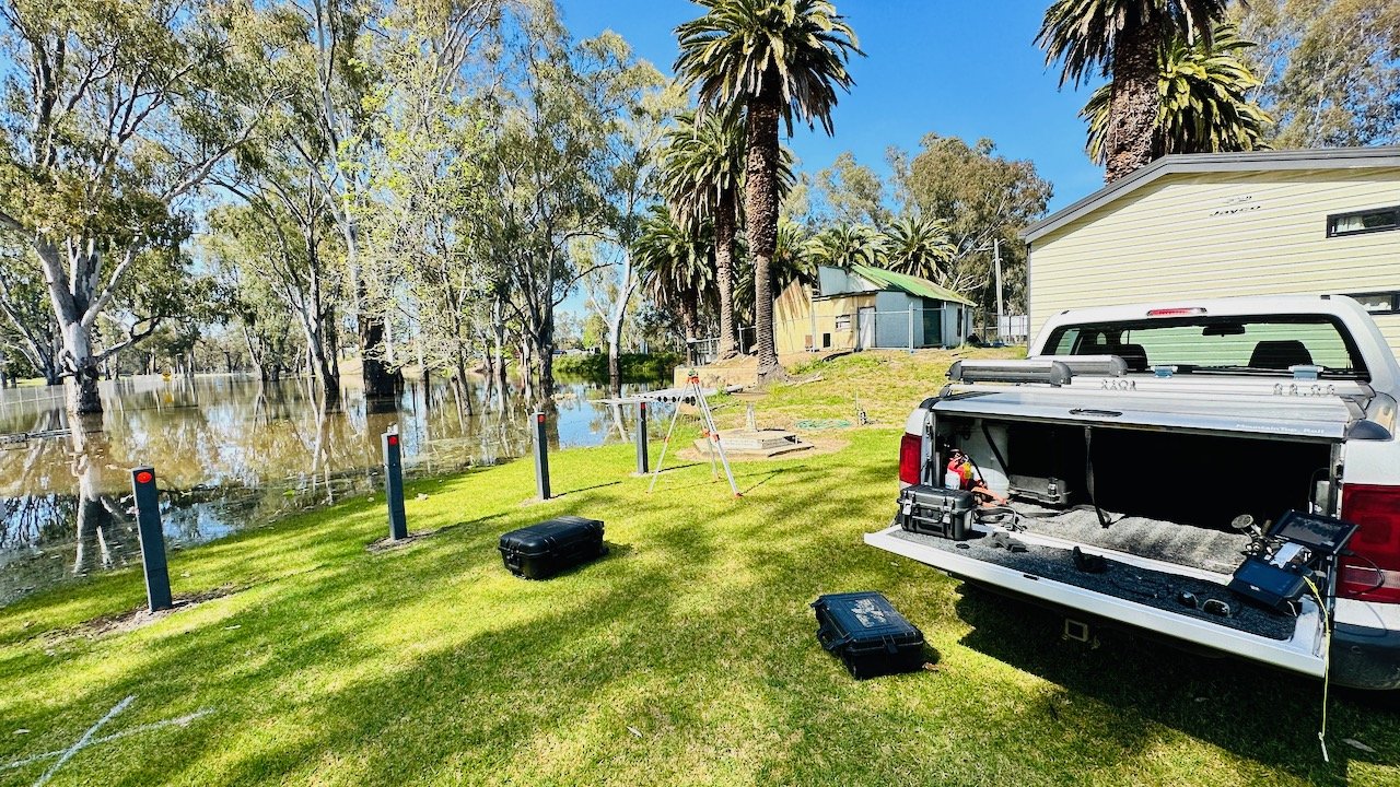
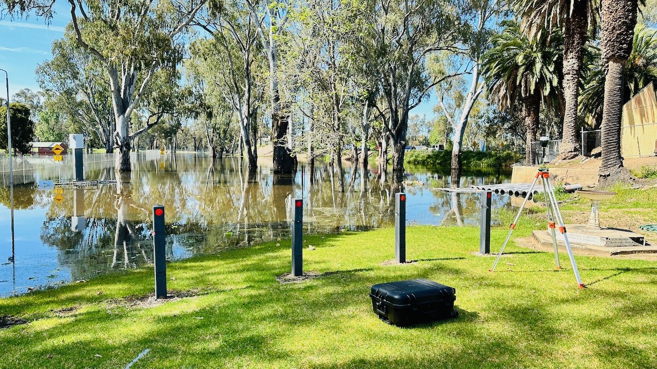
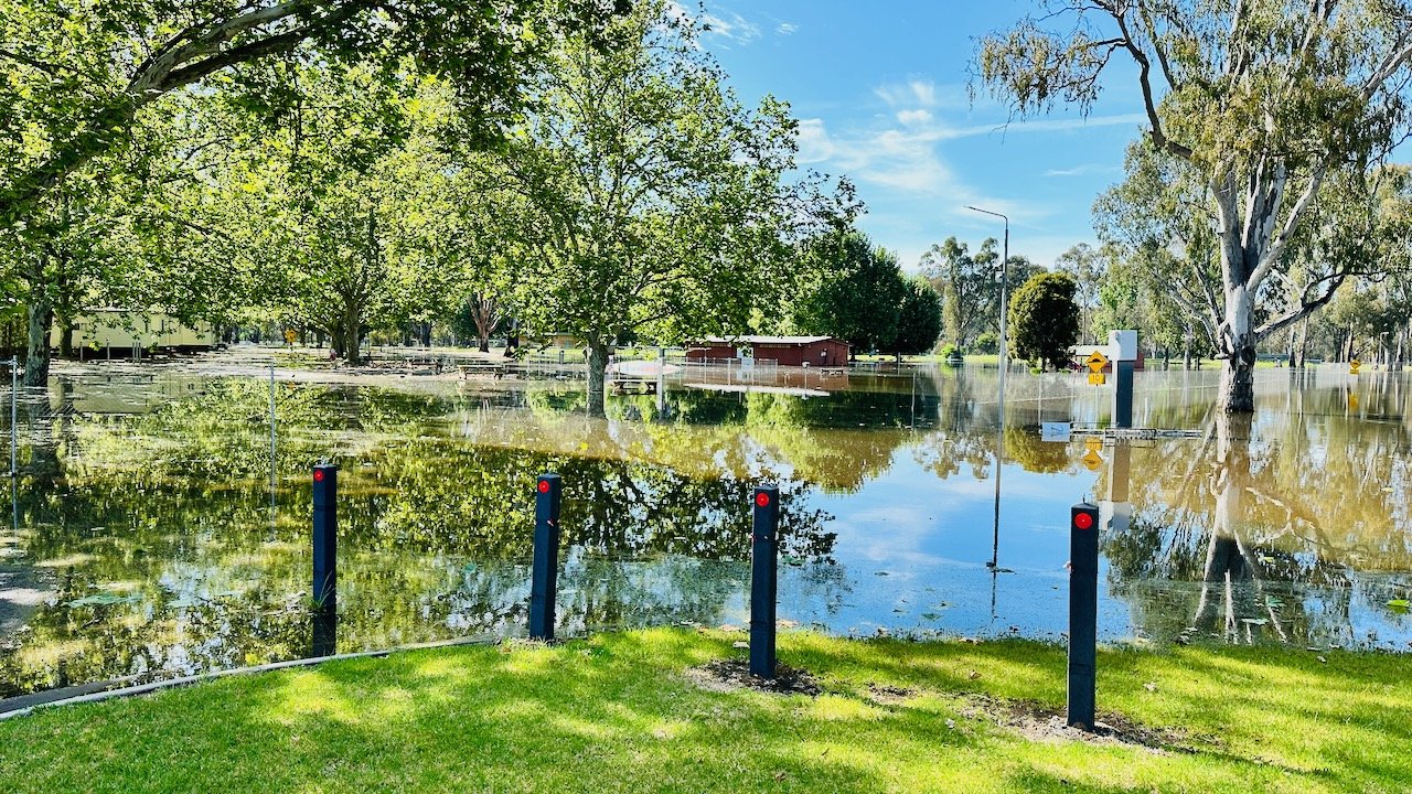
During the extensive flooding that occurred along the Murray River below the Hume Dam in November 2022, 12P Consulting was engaged by Federation Council to map the extent of the flooding around Council-owned infrastructure in Corowa. The information will enable a reference point for gauging the effects of future flood predictions and provide documented evidence of the flooding extent for insurance claims and other uses.
During the mapping project, we covered an area of 93Ha over the Murray River to the east of Corowa and covering some of Council’s critical infrastructure including the raw water offtake for Corowa, the Council offices and Civic Centre, sporting fields and the recently completed aquatic centre.